

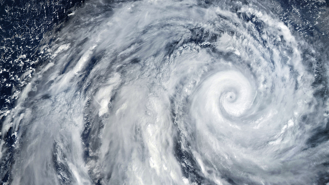
A deadly “super El Niño” is threatening to unleash extreme winter weather across the United States, with three regions facing heightened risks of devastating floods, dangerous storms and heavy snowfall.
As El Niño continues to intensify, fears about its deadly consequences are growing, particularly after University of Chicago researchers predicted in September that extreme heat could claim nearly half a million more lives worldwide than in a typical year.
Now, the National Oceanic and Atmospheric Administration (NOAA) is warning that the powerful climate pattern is approaching historic strength, with a greater than 79% chance of strong to very strong conditions continuing through January to March 2027.
Rising temperatures
Often called a “super El Niño,” the phenomenon occurs when unusually warm Pacific waters disrupt atmospheric circulation, shifting storm systems and influencing temperatures thousands of miles away.
Although the nickname isn’t an official scientific classification, the current event is particularly powerful.
As of Nov. 12, Pacific Ocean temperatures had climbed more than 4 degrees Celsius above average in some areas as El Niño continued to strengthen, according to NOAA’s Climate Prediction Center. An event is classified as “very strong” when temperatures in a key Pacific region remain at least 2 degrees above normal for five consecutive overlapping three-month periods.
And those changes could have serious consequences across the country.
A winter of extremes
As warm Pacific waters alter the jet stream, storms carrying substantial moisture are more likely to travel across southern states, increasing the chances of prolonged rainfall and flooding.
The northern United States, meanwhile, is generally expected to experience milder temperatures and less precipitation, potentially leaving some mountain communities with reduced snowfall.
El Niño also influences tropical storms, generally suppressing Atlantic hurricane development through stronger wind shear while creating conditions more favorable for activity in parts of the Pacific.
But the most immediate concern is the approaching winter.
Three regions facing heightened risks
Based on NOAA’s seasonal outlook and historical El Niño patterns, researchers have identified several that areas could face particularly disruptive conditions.
- California and the Southwest: California faces increased potential for heavy rainfall, atmospheric rivers and mudslides, while mountain areas across the Southwest could experience substantial snowfall.
- Southern Plains and Lower Mississippi Valley: Texas, Oklahoma and Arkansas could face freezing rain, sleet and snow during cold outbreaks, while areas farther south face greater potential for heavy rainfall and flooding.
- Southeast and Gulf Coast: Florida, Alabama and Georgia could experience wetter conditions and thunderstorms, with snow and ice possible in colder, elevated areas farther inland.
Farther north, Washington, Oregon, Idaho and Montana face greater chances of warmer, drier conditions, raising concerns about mountain snowpack and lingering drought.
Although individual storms remain impossible to predict months in advance, NOAA expects El Niño’s influence to continue through winter, leaving millions of Americans facing a season that could look very different from usual.
How are you preparing for the extreme weather that could come with this powerful El Niño? Please share your plans in the comments!
Read more:


