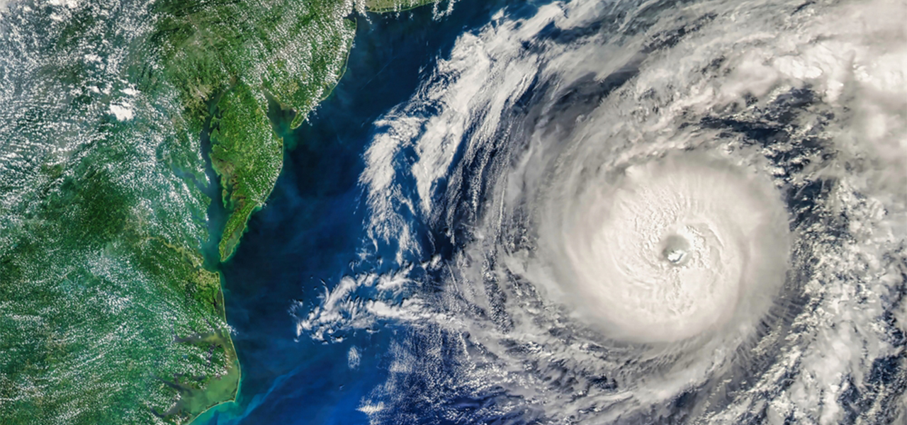
An unusual event high above the Arctic could shape the winter weather that millions of people experience across the Northern Hemisphere.
The polar vortex has broken down earlier than any on record, according to CNN. That raises the chance of freezing Arctic air spilling into parts of the Northern Hemisphere. But there’s a twist. A historically strong El Niño, which typically pushes temperatures higher, could work against it.
The two forces are now competing in the atmosphere, and scientists don’t yet know which will have a greater effect on the months ahead.
What is the polar vortex?
The polar vortex is a huge circle of powerful winds that forms high above the North Pole each year as autumn turns to winter and the Arctic enters months of darkness. It sits about 10 to 30 miles above the Earth’s surface and acts like a barrier, keeping the Arctic’s extremely cold air contained in the region.
Its strength and position can still have a major influence on winter weather across the Northern Hemisphere.
What is happening now?
The vortex has been weakening for weeks, but things have now taken a dramatic turn. Temperatures in the stratosphere are rising rapidly in what’s known as a “major sudden stratospheric warming.” The normally strong winds around the Arctic reverse direction, which can disrupt the polar vortex and allow cold air to push farther south.
Forecasters say the winds reversed on November 10. The effects can take days or weeks to reach the ground, and they raise the chances of cold outbreaks across the Northern Hemisphere. Not every event leads to a major cold snap, and the surface effects aren’t guaranteed.
Andrea Lopez Lang, a meteorologist at the University of Wisconsin-Madison, called this year “exceptionally unique.”
That’s because these events normally happen between January and March. Before this year, the earliest on record happened on November 28, in both 1968 and 2025.
Why did it happen so early?
Scientists are still trying to work out why. One possibility is El Niño, since some research has linked it to a weaker polar vortex and more frequent major disruptions.
But atmospheric scientist Simon Lee, from the University of St Andrews, said there isn’t enough evidence yet. “We’re not sure yet,” he said.
The timing makes it hard to predict what comes next. “It’s happening so early in the season that basically our historic events don’t capture what’s actually happening,” Lopez Lang said.
What does it mean for this winter?
El Niño usually brings milder weather to parts of the US. Amy Butler, a research physicist at NOAA, said she expects a higher chance of warm temperatures over the northern half of the country over the next month, which she linked to El Niño.
MIT climatologist Judah Cohen told AFP that an early breakdown of the vortex “really increases the chance of cold air outbreaks” across densely populated parts of the US, Europe, and East Asia.
Experts caution that a weak polar vortex in November doesn’t dictate the rest of the winter. Lopez Lang described the atmosphere as “an experiment,” where scientists will see whether El Niño or the polar vortex has more say.
Check out other articles below that might be interesting to you as well!
Read more: